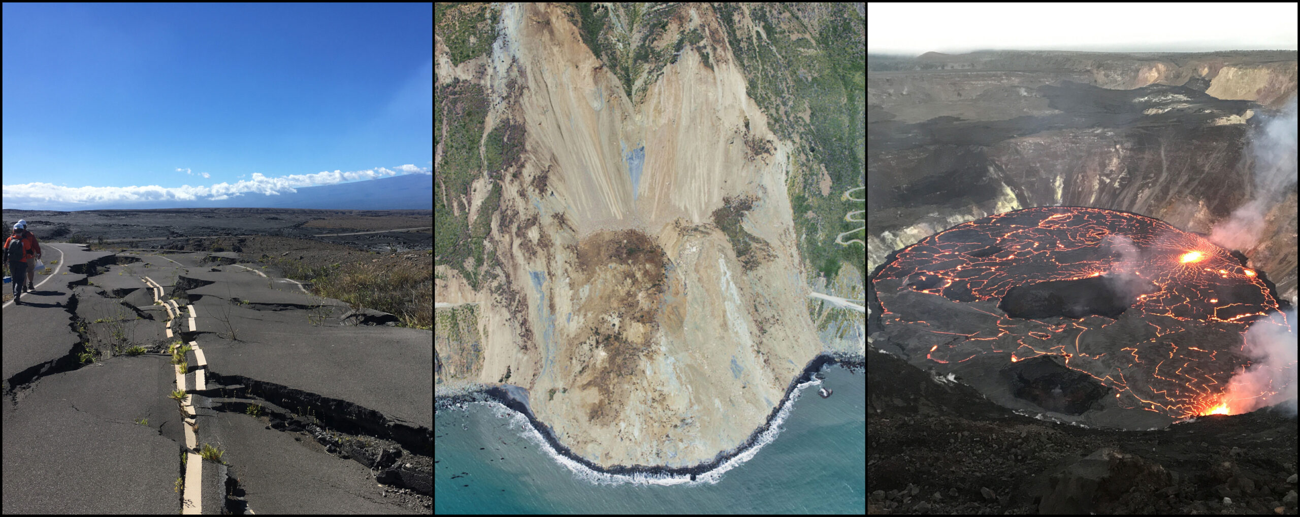
An online tool maps measurements and enables non-experts to understand earthquakes, subsidence, landslides, and other types of land motion.
NASA is collaborating with the Alaska Satellite Facility in Fairbanks to create a powerful web-based tool…
An online tool maps measurements and enables non-experts to understand earthquakes, subsidence, landslides, and other types of land motion.
NASA is collaborating with the Alaska Satellite Facility in Fairbanks to create a powerful web-based tool…